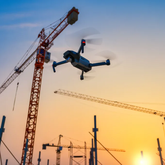
Many of our BBA team members are now certified as drone pilots registered with Transport Canada and hold advanced operations licences. This new expertise opens the door to innovative tools that streamline project delivery and in-house scans with minimal to no work disruption.
With these advancements in technology, engineering teams also have greater access to extensive amounts of geospatial data. This data can empower all your collaborators—internal teams, consultants, entrepreneurs and others—to achieve integrated multidisciplinary designs, and can integrate seamlessly into new practices of public consultation and multicriteria analyses. Digital 3D and 4D geovisualization can also assist in navigating the complexities of sustainable development, enhancing social acceptance of projects among affected communities and expediting approvals from multiple partners.
As we expand our services to include LiDAR drone capture, we look forward to offering drone-enabled services for dam inspections, geotechnical analyses, overhead power line inspections, civil design, construction monitoring and more. These services can help you design projects to accommodate any geotechnical, geographic or social constraints and determine the most optimal routes forward.